dvis3yzawwgr9p4du4g7rcqsie1vi7
Skip to content
Aviation Ideas and Discussion!
Visit SAFE Website
Search Here
Recurring Flight Training Fallacies!
FAA Legal Interpretations “Starter Kit”
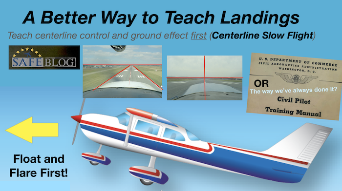
A Better Way to Teach Landings
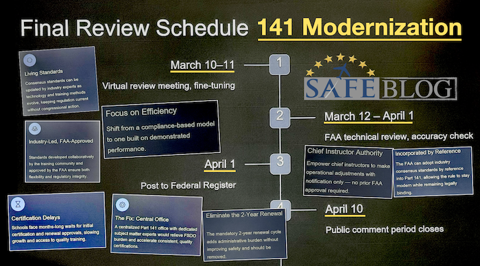
141 Modernization on Final Approach
Airworthiness For (Ancient) Airplanes
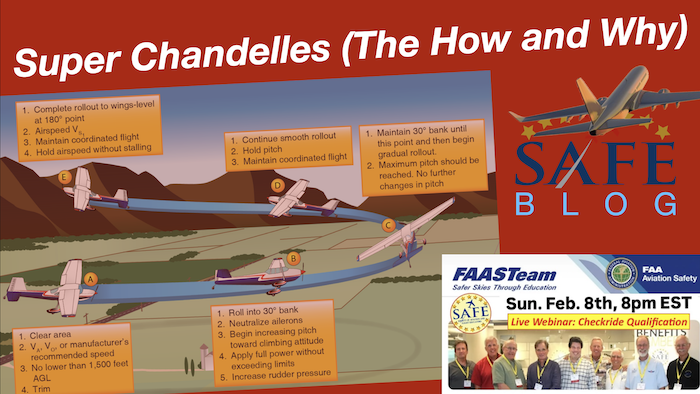
Flying Chandelles (The How and Why)
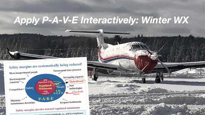
Interactive “P-A-V-E”
Curate a “Practical Paranoia” for Safety
The Short-Field (Accuracy) Landing
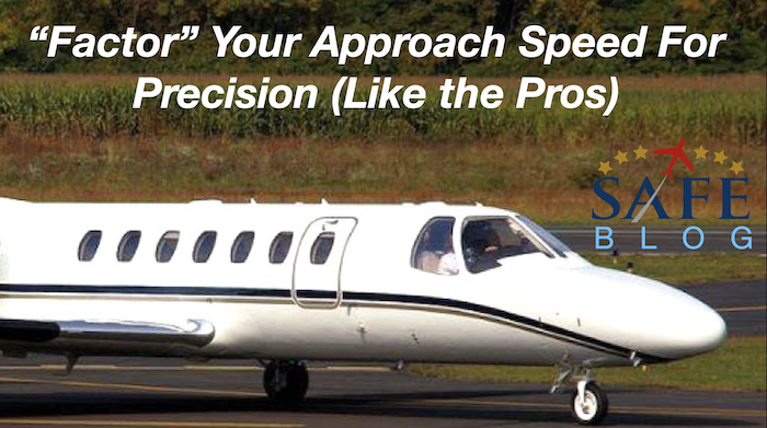
“Factoring” GA Landing Speeds
Next Page
→
Loading Comments...
Write a Comment...
Email (Required)
Name (Required)
Website